4 September 2023
A collaboration between scientist Céline Cattoën-Gilbert and illustrator Jean Donaldson.
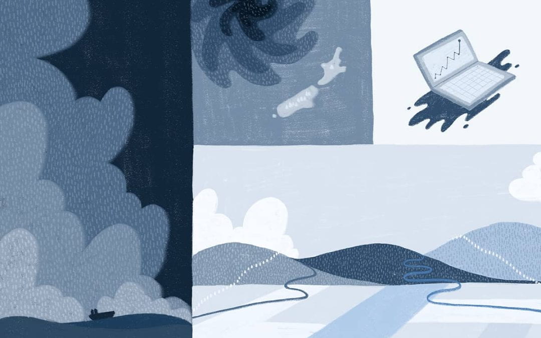
It’s Sunday 14 August 2022, and I’m sitting in front of my computer. I feel a surge of numbing emotions and prickly memories gushing through me. My eyes scan the river forecasts for Westport, mentally tracing and mapping the ominous contours of rising water levels.
I research how to develop, improve and communicate flood forecasting models. Today the models have made me pause. Some of the highest predicted scenarios look like what occurred in 2021, when widespread flooding devastated Westport. Thousands of people had to be evacuated, and insurance companies paid out $97.2 million in damages.
I breathe and tentatively remind myself that uncertainties are still very large. We are five days ahead of a massive storm – known as an atmospheric river – hitting the West Coast and Tasman regions. We have time.
The Covid-19 pandemic thrust modelling into the public consciousness in Aotearoa New Zealand. Models are simplified representations of real-world processes. They are one of the tools available to decision-makers facing tough choices. For flood forecasting, we’re working with an unfathomably complex system to try and make predictions across many scales: from atmospheric to catchment to the human scale.
Flip flops. The supercomputer clocks.
It’s Monday morning. I lean forward watching my screen, and feel a mix of relief and frustration. The models are flip flopping between a widespread urban flooding scenario and a less severe rural flooding scenario for Westport. With each forecast update, I am mesmerised by the oscillation of the worst case scenarios between river forecast updates: one world where the storm heads on to the West Coast and a parallel one where it moves north, hitting Nelson. The following day the West Coast declares a regional state of emergency, enabling a strategic and coordinated response. We still have time.
Flip flops. The rain drops. The supercomputer continues to clock.
In 1922, Lewis Richardson attempted to solve weather prediction equations — by hand. A century later, we have bigger, faster and more advanced supercomputers — powerful machines capable of processing enormous amounts of data and performing complex calculations. We have technology advances in observations with satellites. Breakthroughs in modelling the pathway of rainfall from the atmosphere to the rivers. We now have access to unprecedented and enormous improvements in our predictions. But despite all our efforts and advances, it is still difficult to predict and prepare for floods.
Enter chaos, the butterfly effect, and the human mind.
In the 1960s, Edward Lorenz was bewildered by his failed weather modelling experiments. Using the same computer model, and the same initial conditions but rounded to three decimals, two dramatically different results occurred. The weather is predictable, but given ever so slightly different conditions at the beginning of the simulation, the forecast will deviate over time. Dramatically. Chaotically. Known as the butterfly effect, the amount of difference in the starting points of the two scenarios is so small that it is comparable to a butterfly flapping its wings.
Flip flops. The rain continues to drop. Now the ground begins to soak. Relentlessly, the supercomputer clocks.
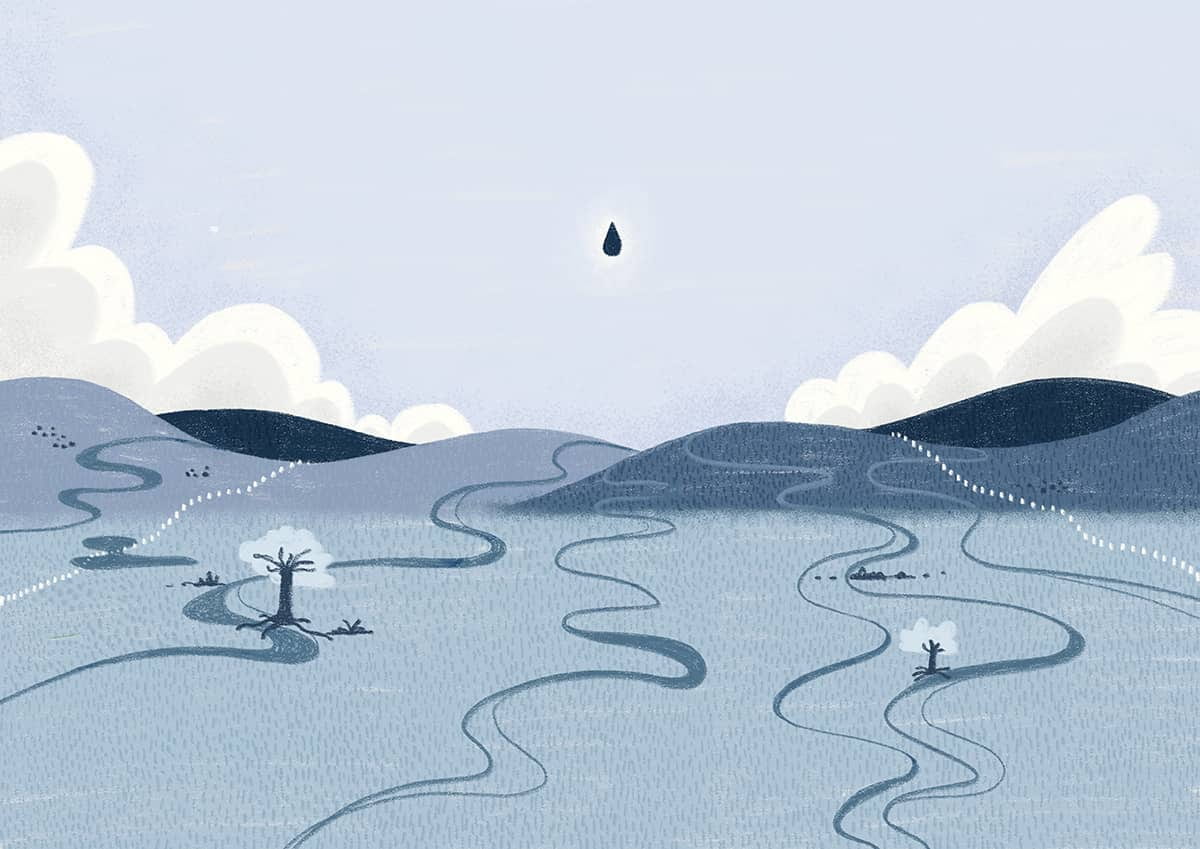
When a raindrop hits the ground, it faces a myriad of options to travel through the landscape to reach the river. Sliding over the land, percolating below the surface, gushing through tiny holes from bed rocks, roots, urban stormwater pipes. Knowing the correct pathway will tell us how fast and how high the river roars, where the water rises, and where help may need to go.
Flip flops, flip flops, flip flops. The rain pours onto saturated ground. The supercomputer delivers new scenarios. Which one will unfold?
The butterfly effect means that we need to capture uncertainties at each step of the prediction process. Instead of relying on just one computer model to predict floods, ensemble forecasting uses a whole bunch of them. These scenarios consider small variations in rainfall, river levels, and how much water is already in the soil. Each model might give a slightly different prediction based on its own initial state, assumptions, and calculations. By looking at all these different predictions together, we can consider a range of possible outcomes to prepare for.
Tick tock. The humans talk.
Science is meant to help people foresee the invisible. To imagine how rising forecasted river levels could transform into a chest-height wall of water or an ocean of mud at their doorstep. Humans must be able to imagine that the worst-case scenarios of the forecasts could occur. Even when the rain outside has stopped, the rushing river upstream may still be bursting through its banks.
But the human mind can struggle to envision the possibility of an extreme flood forecast becoming reality, even after it’s occurred. The sheer devastation of Cyclone Gabrielle was far beyond what I could possibly imagine as I drove north of Gisborne Tairawhiti recently. Witnessing its aftermath with my own eyes months later, I was astounded by the massive volumes of sediment obscuring the severely eroded riverbanks. The trees and trunks uprooted and scattered in seemingly random locations. The roads scarred and interrupted by countless landslides. My heart sank at the sight of the hilly landscapes disfigured, marred by erosion over kilometres and kilometres of land. I still can’t imagine the nature of forces at play needed to cause such a profound and lasting impact on the land.
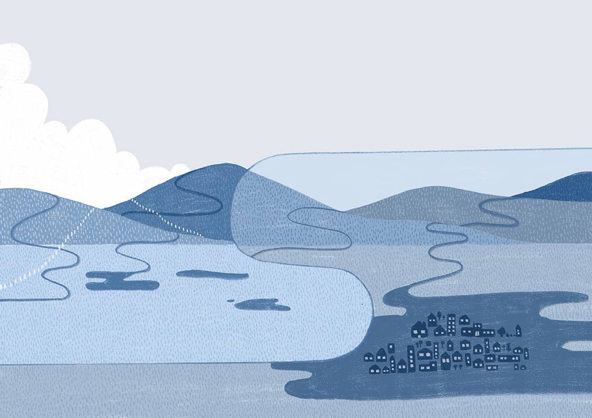
We are running out of time. By Tuesday, exhaustion runs through my body and my mind. I impatiently check updated river forecasts and scrutinise every nuance in our scenarios. A pattern is emerging from the chaos. The latest modelling is reassuring and indicates an easing in predicted intensity for Westport. But the next day, north of Westport, the Maitai River in Nelson city will burst its banks. More than 200 homes will be evacuated and numerous landslides will be triggered.
Aotearoa has experienced some serious floods over the last few years, and we’re going to have more. For those whose lives and homes have been devastated by these floods, the recurring threats of floods surpass imagination with a haunting memory. The mere sound of a raindrop, the scent of damp streets can trigger a rush of fear. The chatter of past emotions can overwhelm the human mind in an instant. So, when the river’s forecasts hint at receding waters from a second front for Westport during that August flood event, a distinct kind of strength emerges for Coasters. It takes incredible mental stamina, clarity of communication, trust in the science, the responders, the authorities, and the unity of the community to divert emergency efforts to their neighbouring catchment — where help is most urgently needed. Emergency responders, with their unyielding commitments, are unsung heroes of our changing climate.
Working with decision-makers has been an invaluable personal and professional growth experience. Through this, I have learnt that models don’t need to be perfect to be insightful. I have peeked into some of the complex pathways from predicting floods to decision-making for early actions. From that experience, I see that we urgently need improved integrated predictions across disciplines of science, natural hazards, forecasting, human behaviour communication and social science.
We must continue to move towards a world where we better weave together our science, our people, our community, our values and our imagination to effectively enhance flood preparedness.
Céline Cattoën-Gilbert is a Principal Investigator with Te Pūnaha Matatini who focuses on forecasting floods.
Jean Donaldson is a designer and native bird fanatic based in Te Whanganui-a-Tara. You can see more of her work at https://jeanmanudesign.com/.