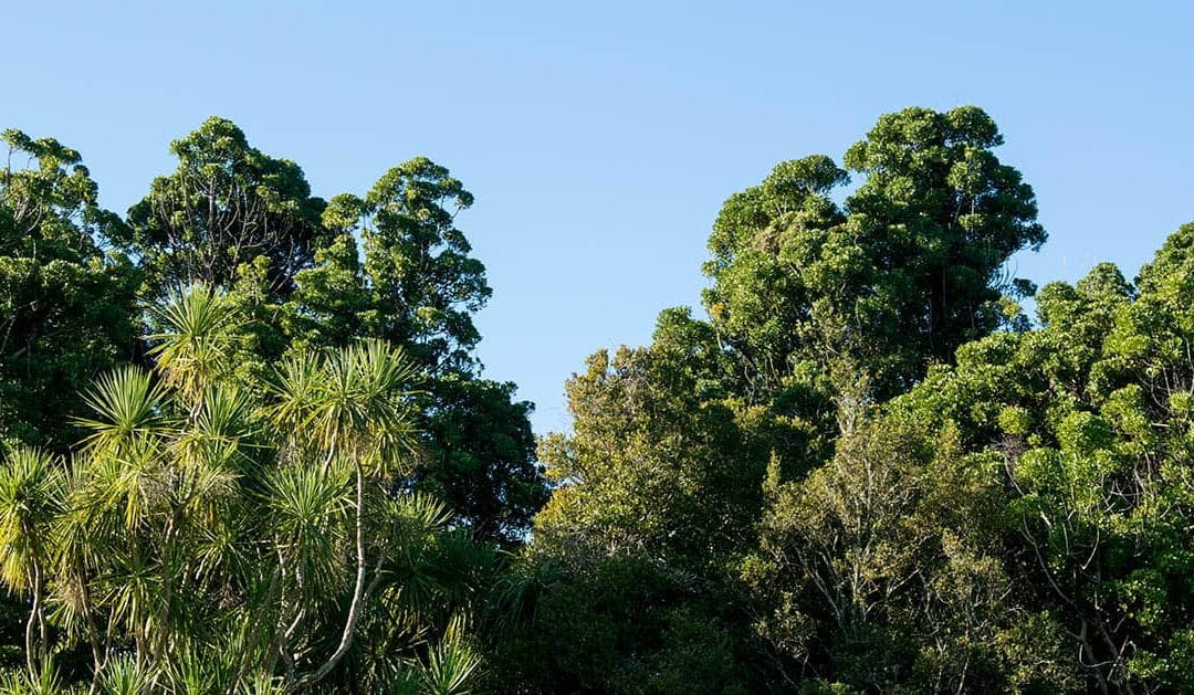
Haruātai Park in Ōtaki. Photo by Katerina French Armstrong.
2 November 2021
Two masters projects funded by Te Pūnaha Matatini are currently flowing together like a braided river towards creating communications to support community-led environmental restoration in Ōtaki.
Design student Katerina French Armstrong (Tūhoe) and science in society student Vicky Gane have been exploring how to communicate the value of reforestation in Ōtaki in very different ways.
Katerina’s project connects kaupapa Māori and spatial narratives to navigate community-led environmental restoration, while Vicky’s project measures the environmental effects of tree planting along the Ōtaki River.
Friends of the Otaki River have been carrying out replanting and restoration along a section of this river for over two decades. Associate Professor Rhian Salmon often visits this beautiful reforested area with her students, and was recently struck by how little she knows about the effect that planting trees has on the environment.
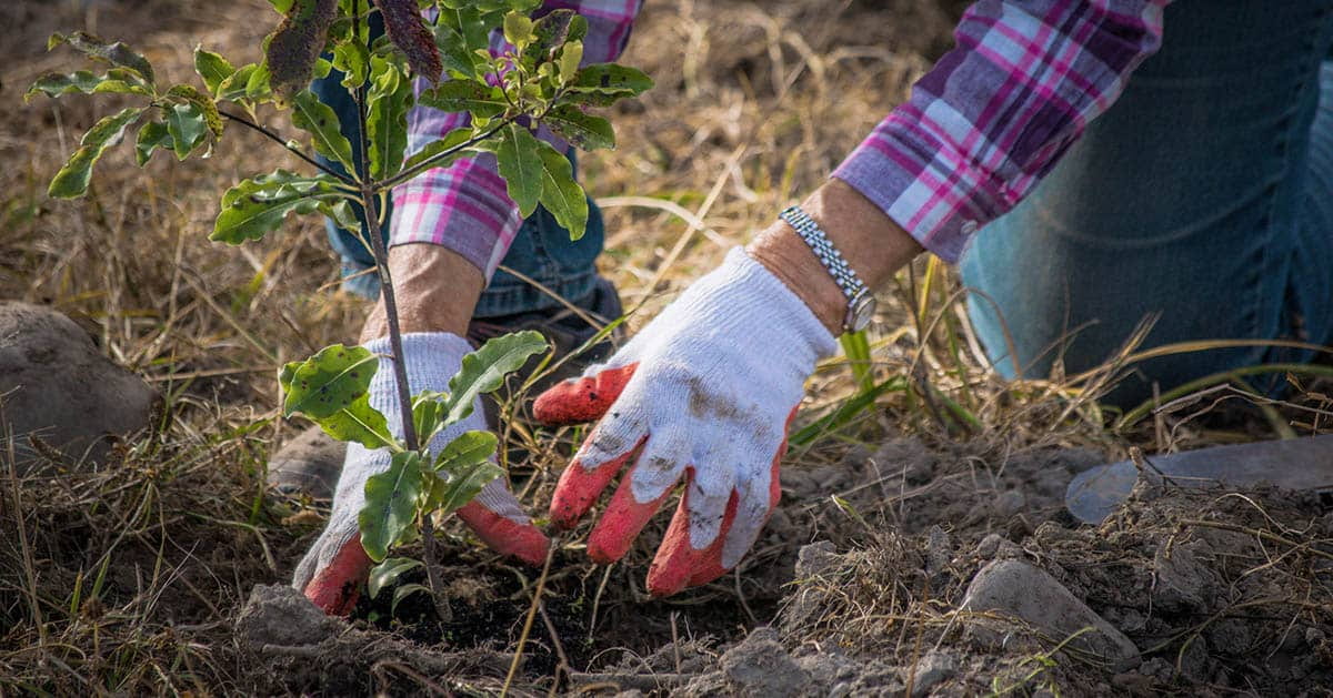
A tree planting at the Ōtaki River. Photo by Katerina French Armstrong.
Rhian had a vision for creating a designed, living, growing science communication project that could tell visitors about how much carbon particular trees were absorbing, and how that relates to their climate impact.
She joined forces with designer Jo Bailey and they decided to approach the project from a transdisciplinary angle, bringing together a design student and a science in society student. They also realised they needed the help of Associate Professor Cate MacIinnis-Ng, to contribute her immense knowledge about trees.
For Te Pūnaha Matatini investigators Rhian, Jo and Cate, this is an exciting exploration into deliberately working transdisciplinarily, bringing together science communication, design, ecology and mātauranga Māori. The overall project also tests institutional boundaries, with Rhian based at Victoria University of Wellington, Jo at Massey University, Cate at the University of Auckland, and funding from Te Pūnaha Matatini.
“The thing that I love is that Kat has taken a big picture approach and looked into what the land used to look like in Ōtaki and how colonisation, politics and human presence have affected it,” says Rhian. “And then Vicky’s looking at the actual trees.”
Katerina currently plans to produce an augmented reality app that shows how key landscapes around Ōtaki looked in the past, and how they could potentially look in the future. Alongside Jo, she has supervision and guidance from artist Associate Professor Huhana Smith (Ngāti Tukorehe, Ngāti Raukawa ki Te Tonga) at Massey University.
“Aotearoa’s colonial history, rapid deforestation and land alteration has significantly changed the face of our whenua, and the relationship between tangata and the ngahere,” says Katerina. “I grew up beside the Tararua Range and saw deforestation happen right outside my window. That’s the point that I could relate to, so I went with that.”
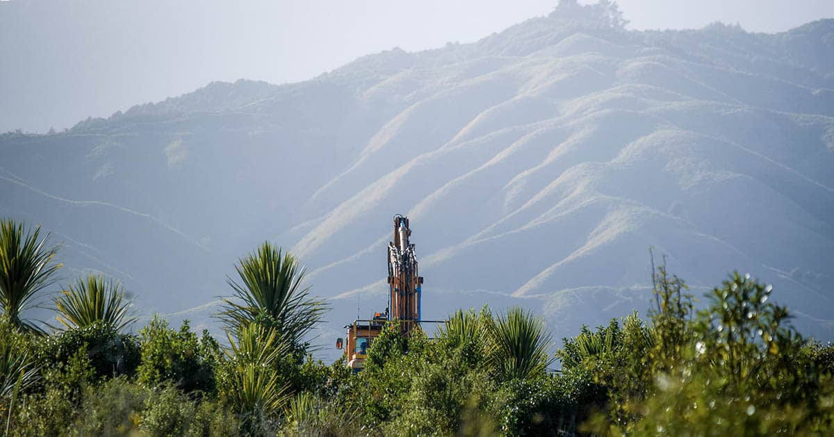
The Tararua Ranges tower above Ōtaki. Photo by Katerina French Armstrong.
Vicky is using allometric equations to calculate the biomass of specific trees, five-minute bird counts and pitfall traps to understand the biodiversity of the area, and analysis of soil to understand its carbon content. She is co-supervised by ecologist Associate Professor Stephen Hartley at Te Herenga Waka Victoria University of Wellington.
“I haven’t done that kind of sampling before,” says Vicky. “I come from a conservation biology background, but my main focus before now has been on fauna rather than flora -and definitely not on soil, so I’m learning a lot of new stuff.”
The outcomes of both projects will be co-designed with the local community, and are intertwined in a way that Katerina and Vicky compare to a braided river.
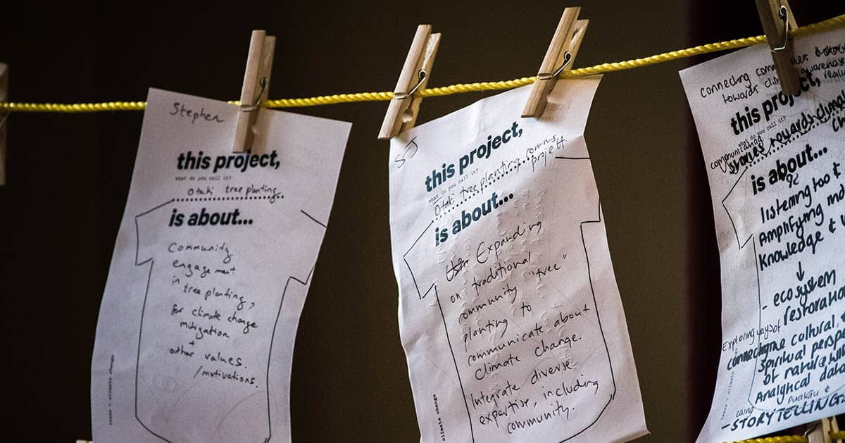
Designing the projects was a collaborative process. Photo by Katerina French Armstrong.
A central methodology for the two projects is meeting each week in Haruātai Park for a walk and kōrero with Watene Kaihau from local iwi Ngati Raukawa ki te Tonga.
“It’s a co-design process with all the people that we’ve been meeting along the way,” explains Katerina. “This is a new way of working for me, because as a spatial designer I’m used to being handed a brief with set parameters. This project has been really rewarding because it feels a lot more meaningful to the specific site.”
“Our projects connect in interesting ways,” says Vicky. “Because I have been coming along to a lot of meetings with Katerina to talk to the locals about the area, I’m being informed by what the area was like originally, people’s connections to the land, and the history of the area.”
“I’m keeping all that in mind when I’m thinking about the measurements I’m doing. When I come to the next stage of communicating my findings it won’t just be the scientific benefits of the site, it will be how it sits in the wider historical landscape and the community.”
The results of the overall project are likely to ask questions as much as proffer answers, and Jo hopes that they will stimulate conversation.
“The great thing about this project is that it’s taken on a life of its own,” concludes Jo. “We’ve let it fly and it’s flown off and transformed in this really beautiful way.”