
University of Auckland student Tamara Craigen on her summer research experience with Te Pūnaha Matatini, 3D modelling archaeological sites on Ahuahu (Great Mercury Island).
Tamara Craigen
Ahuahu (Great Mercury Island) has been an area of archaeological interest for many years. The island is part of the Mercury Islands, off the coast of the Coromandel Peninsula. A multidisciplinary team from the University of Auckland and the Auckland War Memorial Museum has been involved in a long-term project in coordination with the island’s landowners Sir Michael Fay and David Richwhite and the local iwi, Ngāti Hei.
A component of this project directed by Professor Thegn Ladefoged has and continues to develop understanding of how Māori interacted with the land, especially through the ideas of kaitiakitanga and ecodynamics. Kaitiakitanga is a term that encompasses various facets of guardianship, including practices and values, while ecodynamics refers to how humans and ecological systems interact.
One area of interest on the island centres around a swamp and nearby alignments of rocks. This location resembles known Māori taro and kumara garden sites in other parts of New Zealand, prompting investigation.
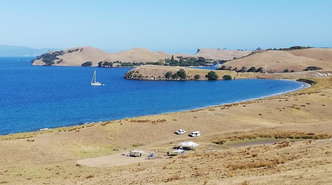
A view of the archaeological area at Ahuahu (Great Mercury Island) that Tamara and her colleagues at the University of Auckland worked on over the 2019-20 summer. Photo: Andy Hopping.
Various archaeological methods have been undertaken, including excavations, pollen analysis and coring. The latter is the primary source for my project. D-section coring involves inserting a tool into the ground that takes a sample of the various sediments and dirt layers that make up the landscape, called stratigraphy. These samples can be taken in transects across an area of interest to develop a stratigraphic profile.
Over my ten-week contribution to the ongoing project, I have been working to develop the stratigraphic profiles from this garden site into 3D models of the underlying geomorphology and archaeological deposits. This has involved researching how other projects have used 3D modelling for analytical use instead of for visualisation as well as learning to use the relevant modelling and mapping software.
Digitising data from last year’s field work has also been an important aspect in preparing the models. The models my project generates will be used to understand the formation of this landscape and garden and help plan future archaeological work in the area.
Author
Tamara Craigen is a Natalie Blair Memorial Summer Scholar from the University of Auckland who has been supported by Te Pūnaha Matatini over her ten-week project. Tamara is currently working towards a BA/BSc in Anthropology and Biological Sciences. This project has been an excellent opportunity for her to develop her skills both in her field and within a wider research community.